Agricultural Drone Mapping Deliverables Explained
Orthomosaics, NDVI maps, GeoTIFF, Shapefile, KML and prescription maps — what each file is and which ones your farm software needs.
Raw images are not analysis
Raw or geotagged photographs are the starting point. An orthomosaic stitches them into one accurate map. A vegetation-index map (such as NDVI) highlights crop vigour. An agronomic report or prescription map interprets the data into decisions. Decide which level you need before comparing quotes.
Common file formats
GeoTIFF holds georeferenced imagery and index maps. Shapefile, GeoJSON and KML/KMZ hold field boundaries, zones and points. CSV holds tabular data such as stand counts. A digital elevation model shows terrain for drainage and water-flow planning. Web maps let you view results without GIS software.
Prescription and variable-rate maps
Prescription maps divide a field into zones with different application or seeding rates. Confirm the format and zone structure your controller or farm-management software accepts before the flight so files load without rework.
RGB, multispectral or thermal?
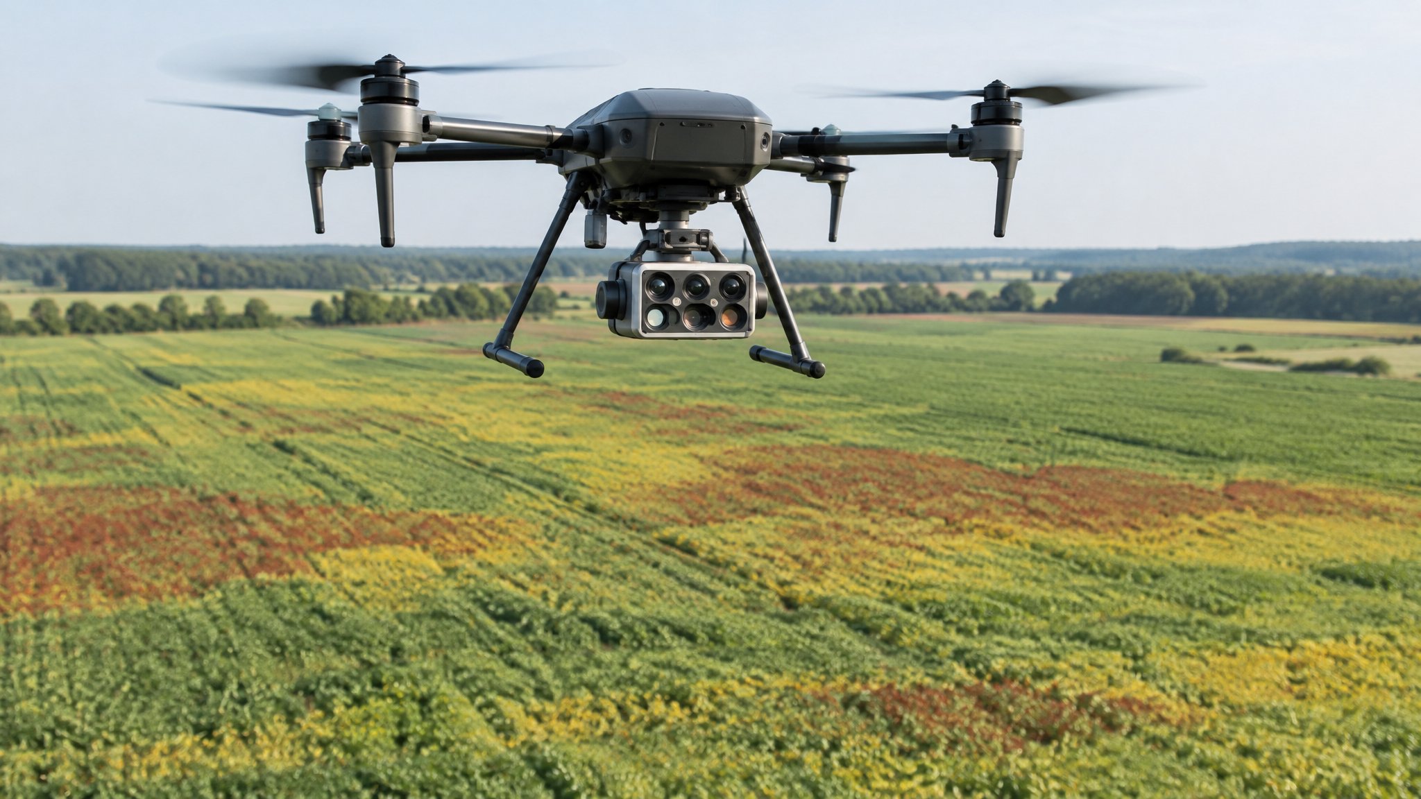
RGB is best for visual scouting, stand counts and damage records. Multispectral sensors measure light bands used for vegetation indices and stress detection. Thermal sensors show temperature differences linked to water stress, irrigation issues and drainage. Some jobs combine more than one.
Questions to ask
Which sensor and ground resolution will you use? Will results be calibrated? Which formats and coordinate system will you deliver? How quickly after the flight? Is agronomic interpretation included, and by whom?
Ready to compare providers?
Describe your project once and get quotes from suitable agricultural drone providers.